File:Map of France.gif
Jump to navigation
Jump to search
No higher resolution available.
Map_of_France.gif (255 × 274 pixels, file size: 25 KB, MIME type: image/gif)
This is a file from the Wikimedia Commons. Information from its description page there is shown below.
Commons is a freely licensed media file repository. You can help. |
Summary
| Description |
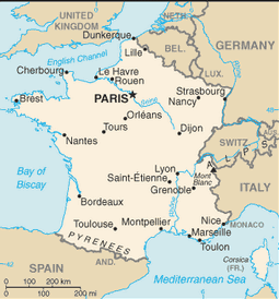
English: Map of France |
| Source |
https://www.cia.gov/library/publications/the-world-factbook/geos/countrytemplate_fr.html https://www.cia.gov/library/publications/the-world-factbook/graphics/maps/newmaps/fr-map.gif |
| Author | CIA World Factbook |
Licensing
This image is in the public domain because it contains materials that originally came from the United States Central Intelligence Agency's World Factbook.
|
 |
File history
Click on a date/time to view the file as it appeared at that time.
| Date/Time | Thumbnail | Dimensions | User | Comment | |
|---|---|---|---|---|---|
| current | 04:34, 25 February 2012 | | 255 × 274 (25 KB) | Morriswa | {{Information |Description ={{en|1=Map of France}} |Source =https://www.cia.gov/library/publications/the-world-factbook/geos/countrytemplate_fr.html https://www.cia.gov/library/publications/the-world-factbook/graphics/maps/newmaps/fr-map.gif... |
File usage
The following page uses this file:
Global file usage
The following other wikis use this file:
- Usage on en.wikipedia.org