File:Sauerland2-Manoftours.png
Jump to navigation
Jump to search
Size of this preview: 795 × 600 pixels. Other resolutions: 318 × 240 pixels | 637 × 480 pixels | 928 × 700 pixels.
Original file (928 × 700 pixels, file size: 133 KB, MIME type: image/png)
This is a file from the Wikimedia Commons. Information from its description page there is shown below.
Commons is a freely licensed media file repository. You can help. |

|
This map image could be re-created using vector graphics as an SVG file. This has several advantages; see Commons:Media for cleanup for more information. If an SVG form of this image is available, please upload it and afterwards replace this template with
{{vector version available|new image name}}.
It is recommended to name the SVG file “Sauerland2-Manoftours.svg”—then the template Vector version available (or Vva) does not need the new image name parameter. |
Summary
| Description |
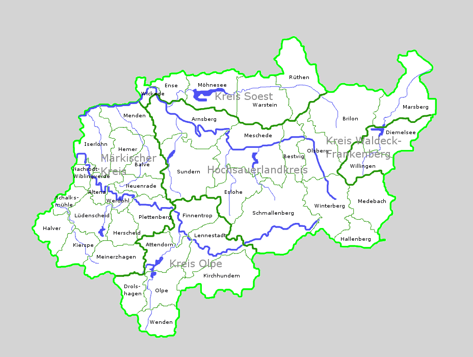
Deutsch: selbst erstellte Karte des Sauerlands mit Kreisen, Städte/Gemeinden und wichtigen Flüssen |
| Date | |
| Source | Own work |
| Author | Manoftours |
| Other versions |
 |
Licensing

|
The copyright holder of this work allows anyone to use it for any purpose including unrestricted redistribution, commercial use, and modification.
Usage notes:
|
File history
Click on a date/time to view the file as it appeared at that time.
| Date/Time | Thumbnail | Dimensions | User | Comment | |
|---|---|---|---|---|---|
| current | 17:35, 21 October 2008 | | 928 × 700 (133 KB) | Manoftours | {{Information |Description={{de|1=selbst erstellte Karte des Sauerlands mit Kreisen, Städte/Gemeinden und wichtigen Flüssen}} |Source=Eigenes Werk (own work) |Author=Manoftours |Date=21.10.2008 |Permission= |other_versions= }} <!--{ |
File usage
There are no pages that use this file.
Global file usage
The following other wikis use this file:
- Usage on da.wikipedia.org
- Usage on de.wikipedia.org
- Sauerland
- Diskussion:Sauerland
- Benutzer:Manoftours
- Portal:Sauerland/Artikelarchiv
- Portal:Sauerland
- Portal:Sauerland/Metainformationen
- Benutzer:Ulflulfl/Karten
- Wikipedia:WikiProjekt Kommunen und Landkreise in Deutschland/Ortsteile/Nordrhein-Westfalen/Sauerland
- Liste von Bergwerken im Sauerland
- Portal:Sauerland/Neu
- Usage on de.wikivoyage.org
- Usage on eo.wikipedia.org
- Usage on fr.wikipedia.org
- Usage on fy.wikipedia.org
- Usage on ja.wikipedia.org
- Usage on nl.wikipedia.org
- Usage on no.wikipedia.org